HomeLidar How is drone lidar system typically work?
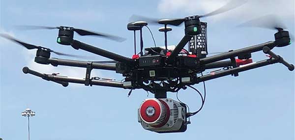
Drone LiDAR (Light Detection and Ranging) systems are a technology that combines LiDAR sensors with drones, enabling them to capture highly accurate 3D images and detailed map environments. LiDAR technology uses laser pulses to measure distance and create an accurate three-dimensional representation of an object or landscape. Let’s discuss how a drone lidar system typically works
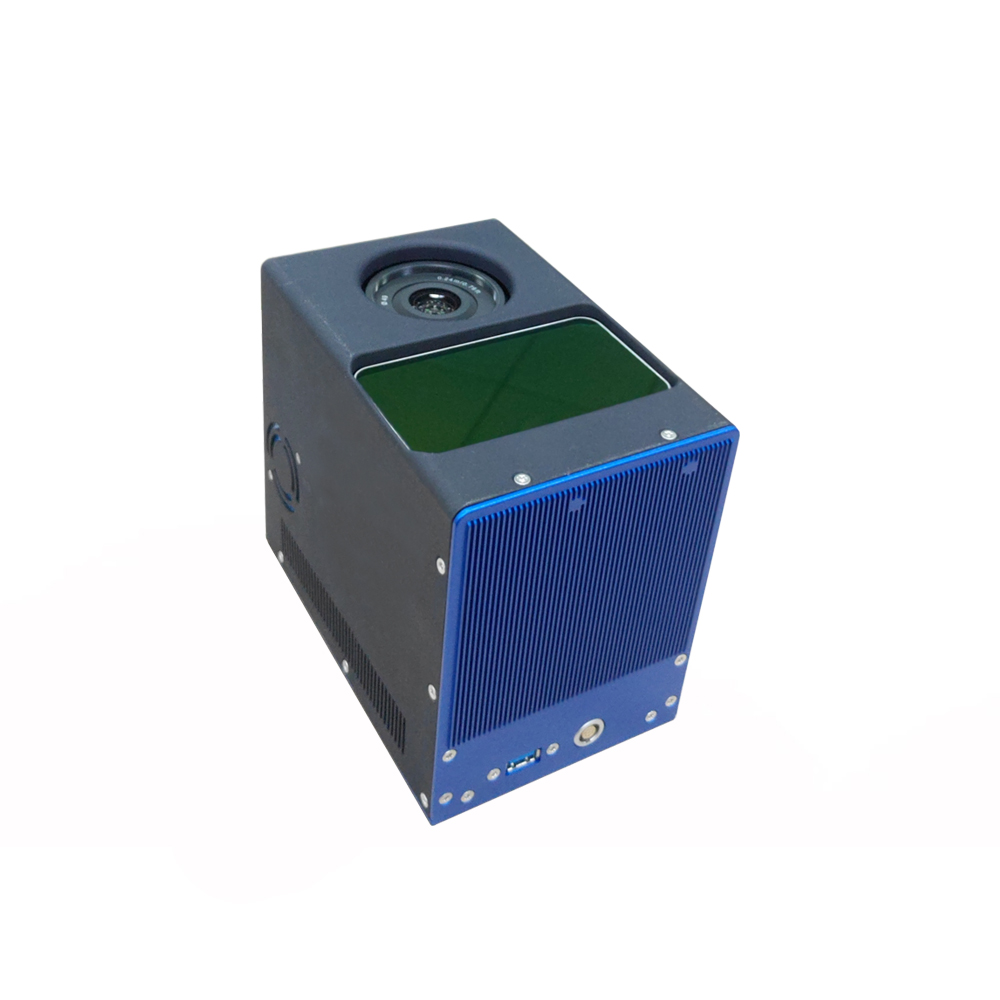
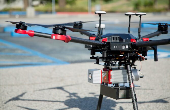
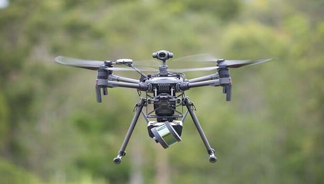
LiDAR Sensor: Drones are equipped with LiDAR sensors, which emit laser pulses towards the ground or surrounding objects.
Laser emission and reflection: These laser pulses reflect off the surface and return to the sensor. The time it takes for the pulse to return helps determine the distance to each point.
Data collection: As the drone moves, lidar sensors continuously collect data points, creating a point cloud that represents the area being measured.
Data processing: Process the raw data collected by LiDAR sensors to produce highly detailed 3D models, maps, or point clouds of the measured area.
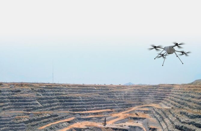
Drone lidar systems have a wide range of applications
Surveying: Used in architecture, urban planning and land surveying to accurately map and model terrain and structures.
Environmental monitoring: Assessing changes in vegetation, forest health, and topography over time.
Infrastructure Inspections: Check the condition of power lines, pipes, and other inaccessible structures.
Archeology and Cultural Preservation: Create detailed 3D models without destroying historic sites or artifacts.
The detail and accuracy these systems provide often outperforms traditional surveying methods, making them invaluable in a variety of industries for tasks requiring accurate spatial data.
Previous postWe released LAUNCH software for drone flight planning and control