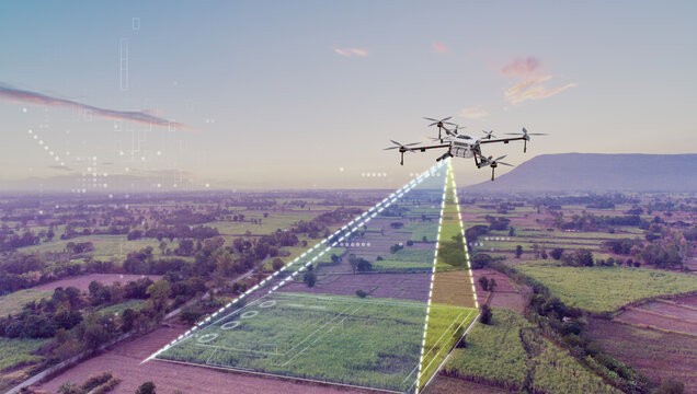
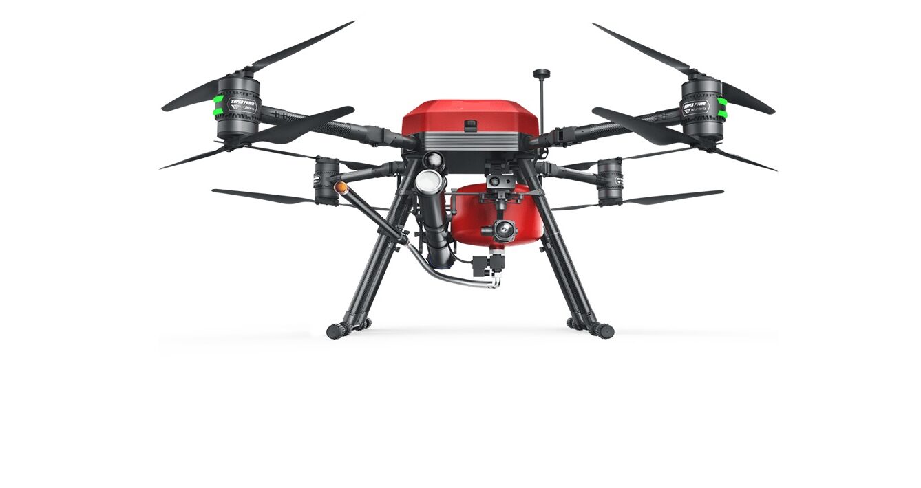
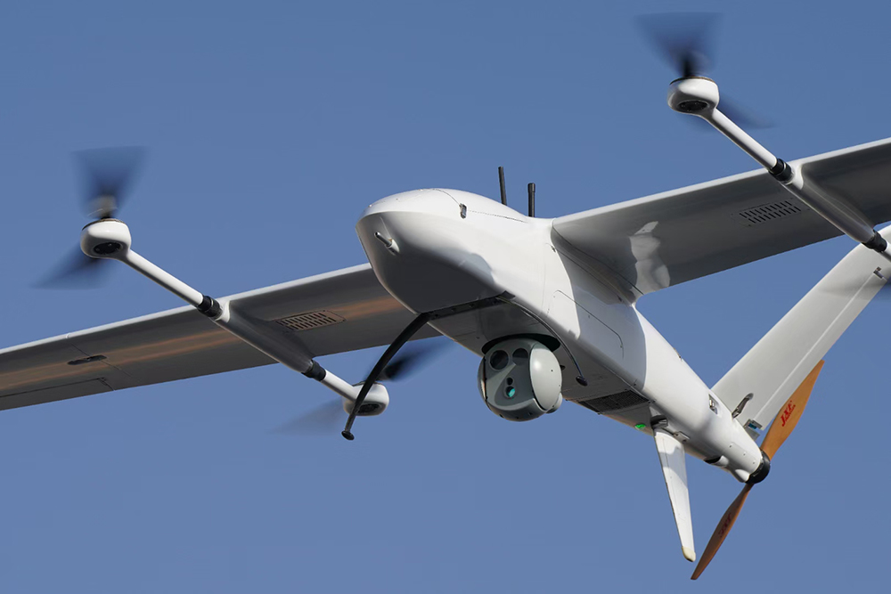
Drones for surveying and mapping obtain high-definition image data through low-altitude photography of UAVs to generate three-dimensional point clouds and models to …
Which drone is more suitable for surveying, fixed-wing or multi-rotor drone?
- Post date: 25 Mar, 2024
- 125 Views
- 0 Comments


