In recent years, with the completion of large-scale photovoltaic power plants, many tens of thousands of photovoltaic cells will fail during operation. At this time, drone solar inspections are required. So what are the large-scale photovoltaic modules and external operation steps? Let me introduce you.
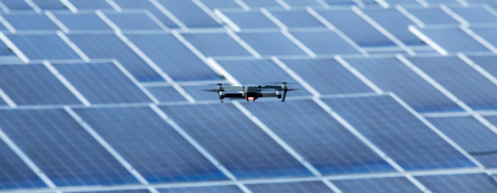
1. Use small drones to quickly establish orthophotos of inspection areas.
Use the function of selecting points on the aircraft map of the ground station to control the drone to fly along the edge of the field and perform fixed-point work. Plan the boundary of the exit station, that is, the boundary graphics required for aerial surveys. First, collect accurate geographic information of the region to provide the most basic ground information for subsequent UAV flight editing flights.
After completing the enclosure work, the ground station will automatically establish an aerial survey area to collect orthophotos. After editing the route parameters, confirm that the aircraft status (power, SD card capacity, mission completion actions, etc.) satisfies the collection requirements, and then the automatic flight mission can be executed.
In the process of collecting orthophotos, it is necessary to always pay attention to the remaining power of the drone and return to the flight in time. The photovoltaic panel equipment is densely distributed. At this time, the crash may cause relatively large losses. At the same time, the drone can automatically collect the orthographic image, and can use the GIS modeling software for the returned original photo.
Bentley (Smart3D), PIX4D, PhotoScan, etc., produce orthophoto results. At the same time of establishing the orthophoto, reasonably plan the time point and make a 5cm ground resolution real scene model for historical image data preservation and real scene data analysis, so as to be one of the basis for the later construction of the power station.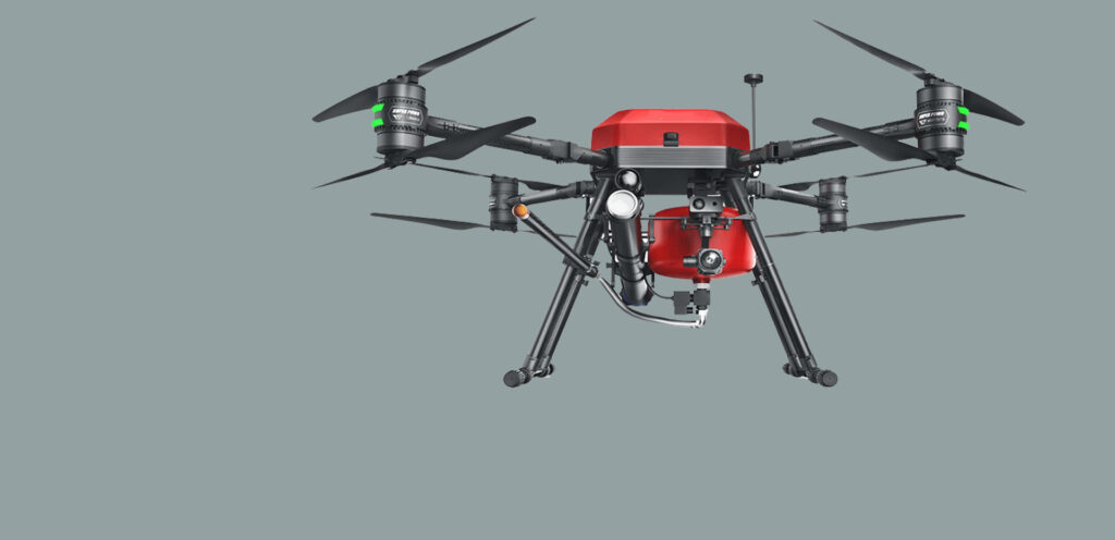
2. Refined inspection of UAV thermal infrared camera.
The use of wide-angle lenses is not recommended in the process of solar inspection. Practice shows that wide-angle lenses are risky when flying aircraft with too low altitude. Due to the camera resolution, too high a flying altitude may cause missed inspection defects. It is recommended that the infrared camera PTZ use a 13~19mm lens for fine inspection of photovoltaic panels.
After the thermal infrared pan/tilt camera and the visible light camera, the outdoor photovoltaic power generation panels are inspected, and some common causes of heating, such as sheet damage, shadow occlusion, surface fouling, and other hot spots, are identified and marked. The hot spot image can be clearly observed under the infrared image, and then switch to the visible light device to observe the faulty device close, and use the camera’s own time stamp to record the detailed positioning information and shooting time.
In the post-processing of the finished photos, the original gray-scale infrared images can be enhanced with false colors through Flir Tools. Clearer marking and identification, while issuing related reports. Through image comparison and analysis, technicians found that some hot spots were caused by panel damage.
3. Geographical location management of photovoltaic panel defects.
The pictures taken by the UAV’s mid-thermal infrared camera and visible light camera contain POS information. Import the POS information into the orthophoto, and you can see where the defect picture was taken. Through image comparison, it can quickly and accurately determine which photovoltaic panels and components have faults and defects. It is convenient for the operation and maintenance personnel of the power station to replace faulty parts in time according to the actual operation and maintenance situation, and ensure the safe and stable operation of the parts.

