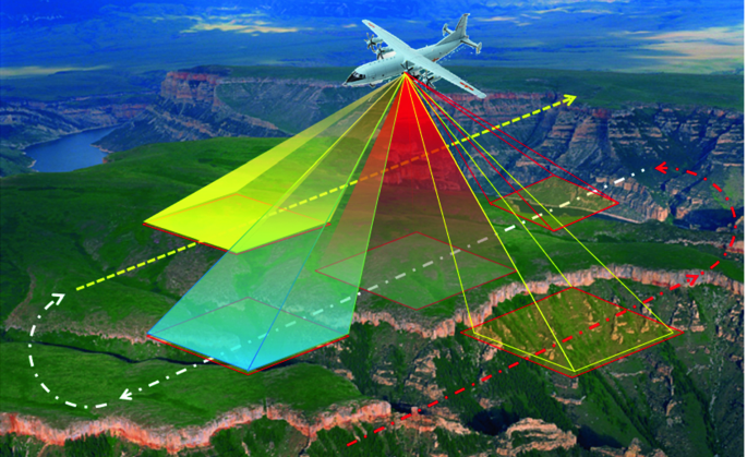
Drone Oblique photogrammetry technology is a high-tech developed in the field of international surveying, mapping and remote sensing in recent years. By carrying multiple sensors on the same flight platform, images can be collected from different angles such as vertical and tilt at the same time, and the ground objects can be obtained more completely. accurate information.
Drone oblique photogrammetry technology is to fully perceive complex scenes in a large-scale, high-precision and high-definition way, and the data results generated by efficient data acquisition equipment and professional data processing procedures intuitively reflect the appearance, location, and height of objects. and other attributes, providing an effective guarantee for the real effect and the accuracy of surveying and mapping. In addition, the economic cost and time cost of 3D model data acquisition are also reduced, and the production efficiency of the 3D model is improved.
Advantages of drone tilt photography technology
Using drones to collect image data can realize fully automated 3D modeling, which has the advantages of low cost, accurate data acquisition, and flexible and convenient operation.
1. Breaking through the limitation that the traditional aerial survey single camera can only obtain orthophoto images from vertical angles, it can obtain more detailed texture details of ground objects and more realistically reflect the actual situation of ground objects.
2. Terrain mapping is carried out by drones equipped with oblique photography cameras, and automatic image matching and modeling systems can reduce manual intervention and greatly improve work efficiency.
3. It can greatly shorten the collaborative work of the surveying and mapping field, save the labor time of the surveyors, and reduce the labor intensity of the field.
4. The oblique image can provide users with rich geographic information products, realize the superposition and display of 2D and 3D data, and provide auxiliary decision-making analysis for the relevant cadastral management information system.
UAV oblique photography process
The processing software performs air triangulation encryption to obtain the outer orientation elements of each photo. In order to meet the model accuracy requirements, it is necessary to arrange and collect the coordinates of multiple control points around and inside the survey area to form a control network. It can not only effectively improve the measurement accuracy, but also provide convenience for data comparison. The route design of oblique photography is designed by route design software, and its relative flight height, ground resolution and physical pixel size satisfy the triangular proportional relationship. The route design generally adopts a side overlap of 70% and a heading overlap of 85%. In actual flight, each camera automatically performs exposure shooting according to the corresponding exposure point coordinates. UAV oblique photogrammetry can be generated as digital orthophoto (DOM), digital elevation model (DEM), digital surface model (DSM) and other results. DSM contains rich information, is intuitive, and has measurability. And the software supports exporting a variety of 3D data interactive formats (OBJ/FBX/OSGB, etc.), providing efficient and accurate data for various model applications.
You Might Also Like