HomeDrone The applications and advantages of surveying and mapping drone
Drone surveying and mapping, also known as drone-based aerial surveying or unmanned aerial vehicle (UAV) surveying, is a rapidly growing technology used in various industries for capturing high-resolution aerial imagery and data to create accurate maps, 3D models, and survey information. It offers several advantages over traditional surveying and mapping methods, including cost-efficiency, speed, and accessibility. Here’s an overview of the key aspects of drone surveying and mapping:
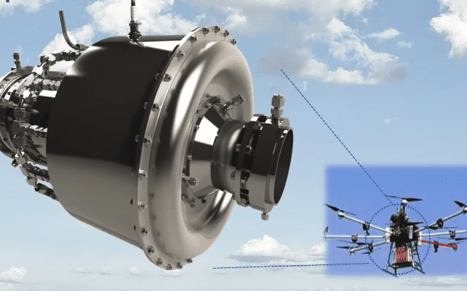
Data Collection: Drones are equipped with cameras and other sensors, such as LiDAR or multispectral cameras, to capture images and data from the air. This data is then used for creating maps, 3D models, and survey information.
Applications:
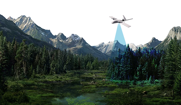
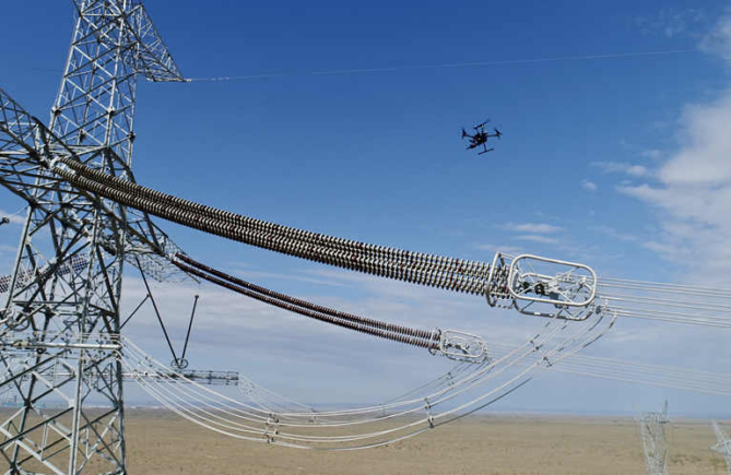
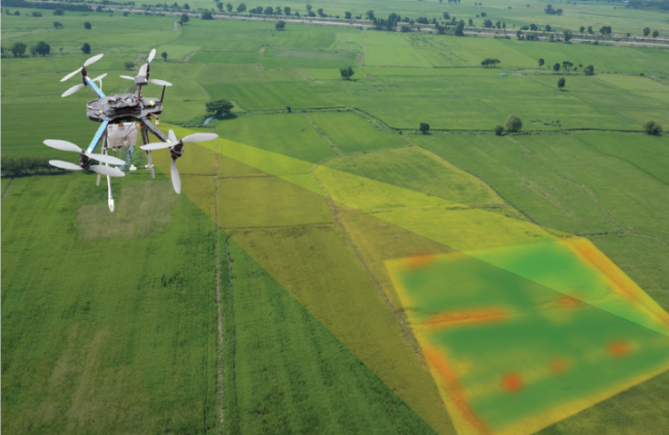
Topographic Mapping: Drones can generate detailed topographic maps of terrain, which are useful for land development, construction, and environmental assessments. Infrastructure Inspection: Drones are used to inspect and monitor critical infrastructure like bridges, pipelines, and power lines. Agriculture: In agriculture, drones can be used for crop monitoring, disease detection, and yield prediction. Mining and Quarrying: Drones can assist in volumetric measurements, site planning, and stockpile management in mining operations. Forestry: Drones are employed for forest inventory, tree health assessment, and fire risk analysis. Disaster Response: They can rapidly assess damage in the aftermath of natural disasters. Advantages:
Cost-Effective: Drones are often more cost-effective than traditional aerial surveying methods. Rapid Data Collection: Drones can cover large areas quickly, reducing the time required for data collection. Safety: They can access hard-to-reach or hazardous areas, reducing the risk to surveyors. High-Resolution Imagery: Drones can capture detailed and high-resolution imagery, making them suitable for various applications. Data Processing: Once data is collected, it needs to be processed to create maps, 3D models, or survey reports. This typically involves stitching together images, creating orthomosaics, and generating digital elevation models (DEMs).
Regulations: The use of drones for surveying and mapping is subject to various regulations, which vary by country. Operators need to be aware of and comply with these regulations, which may include restrictions on flying altitude, licensing, and airspace rules.
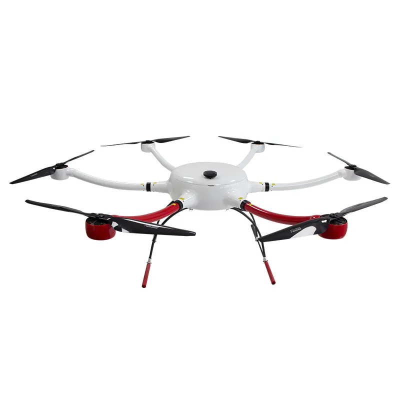
Drone Types: The choice of drone depends on the specific surveying and mapping needs. Some drones are equipped with fixed cameras, while others have interchangeable payloads for different sensor types.
Software Tools: Several software tools and platforms are available for processing drone-captured data, such as Pix4D, DroneDeploy, and Agisoft Metashape.
Accuracy: The accuracy of drone surveying and mapping depends on factors like the quality of the equipment, the accuracy of GPS systems, and the data processing techniques used.
Data Management: Managing and storing the large volumes of data collected by drones is an important consideration. Cloud-based solutions and Geographic Information Systems (GIS) can be used for data management.
Overall, drone surveying and mapping offer a versatile and efficient means of collecting data for a wide range of applications, and their adoption is expected to continue to grow as technology advances and regulations evolve.
Previous postWhat changes will drone technology bring to the drone survey services?
Next postThe relationship between drone frame size and purpose