Mapping cameras are devices used in cartography and geographic information systems (GIS) to capture images and data for mapping purposes. These cameras are designed to record images with specific attributes that aid in creating accurate maps, including:
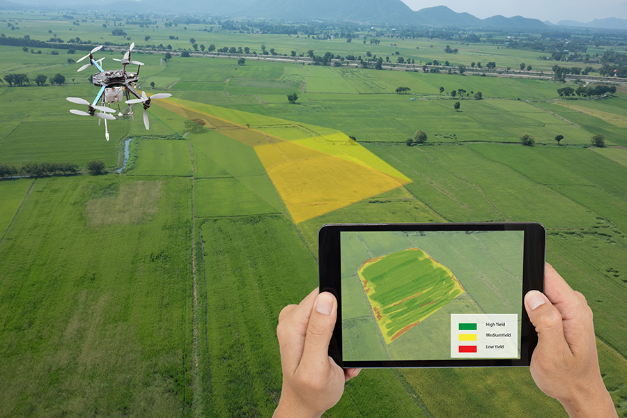
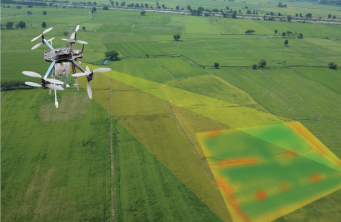
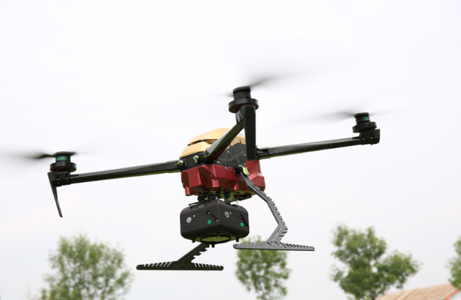
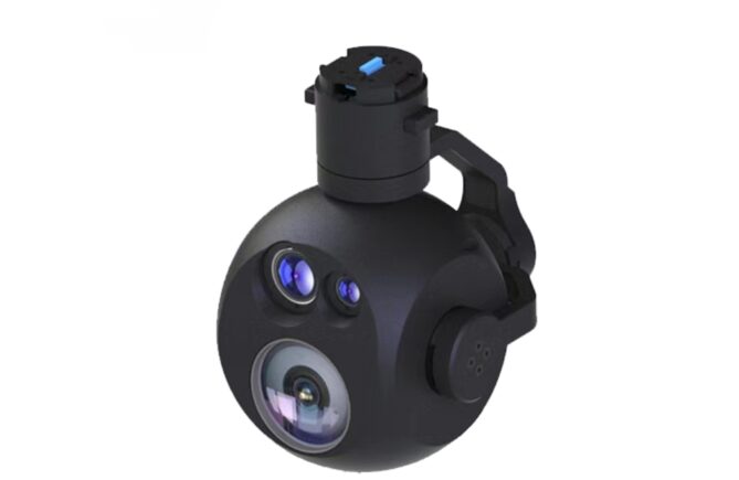
Aerial Photography Cameras: These are mounted on aircraft or drones to capture high-resolution images of the Earth’s surface. They help in creating detailed maps, monitoring landscapes, urban planning, and environmental studies.
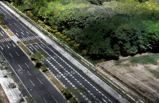
Mobile Mapping Systems: These systems consist of cameras mounted on vehicles or handheld devices. They capture street-level images and data used in applications like Google Street View, navigation systems, and urban planning.
GIS Cameras: These cameras are used in conjunction with GIS software to capture images with geospatial information. They can be handheld or mounted on tripods and help in creating maps with location-specific data.
Satellite and Spaceborne Cameras: These cameras are installed on satellites or other spaceborne platforms to capture images of the Earth from space. They’re used for various purposes like weather monitoring, land use analysis, and environmental studies.
The key features of mapping cameras include high-resolution imaging capabilities, GPS integration for geotagging, and often specialized lenses or sensors optimized for mapping and spatial analysis. These cameras play a vital role in creating accurate and up-to-date maps for a wide range of applications across various industries.