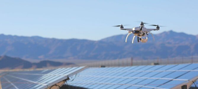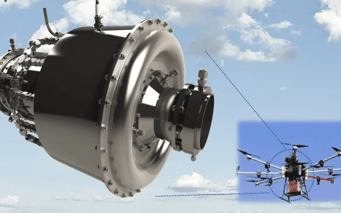
The geological conditions in the mining area are complex. Most of the geological disasters induced by mining occur in the mountainous and rural areas where the economy is relatively backward. There are hidden dangers and the danger of investigation in the hidden danger points of disasters. With the development of UAV technology, its application in the mining field has been promoted.
Some national address survey bureaus use drones in mine geological environment survey work, and use low-altitude drone aerial photography results to provide new data and new perspectives for traditional mining-induced geological disaster surveys, and to understand disasters and hidden dangers more intuitively. The on-site environmental conditions of the site can provide accurate information for areas with dangerous terrain, difficult access to human resources, hidden geological disasters, densely populated areas, mining areas and areas with major projects, and can quickly determine the topography, vegetation distribution, land use, building distribution, etc. comprehensively and objectively Case.
Within a few hours, the drone can process the captured image data through image software to generate a 3D model that allows surveyors to better calculate the volume of ore and other materials and track changes in the amount of ore.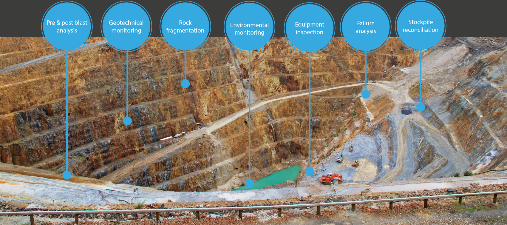
Monitoring illegal mining

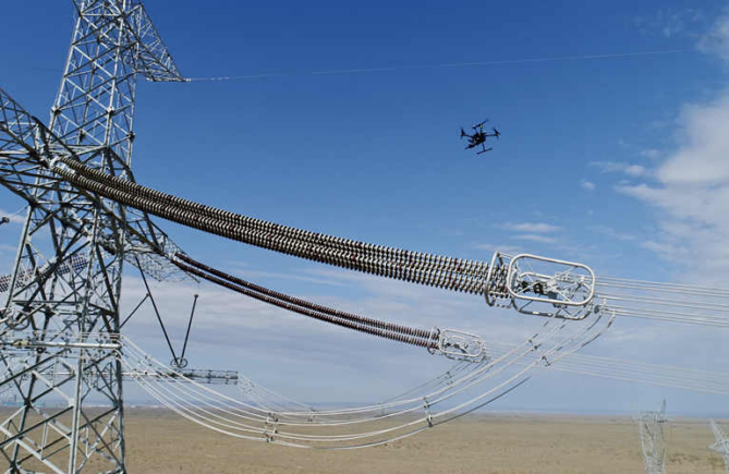
Illegal phenomena such as illegal mining and illegal use of slag yard waste still exist. The traditional daily supervision of mines mainly relies on supervisors to go to the site for inspection and verification. However, in areas with steep rock walls, complex mining surfaces, and inaccessible areas, supervision is difficult and affects the daily supervision of mines.
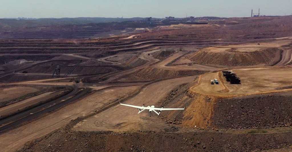
UAVs can be used to conduct real-time monitoring of a large range of mine areas from the air, effectively shortening the inspection time; through aerial photography of the mine environment, the mining status can be locked, and the investigation and evidence collection of illegal mining mines can be completed.
Mine Environment Monitoring

In environmental assessment, the need for environmental information usually has the following difficulties: large-area observations, complex area observations, diversity of required data results, and so on. The rise of UAV low-altitude photogrammetry technology has provided great convenience for environmental surveys.
In recent years, many UAV manufacturers have vigorously practiced UAV technology in project site investigations such as environmental impact assessment, preparation of soil and water conservation plans, and mine ecological environment management, and have achieved good results.
You Might Also Like