HomeDrone What changes will drone technology bring to the drone survey services?
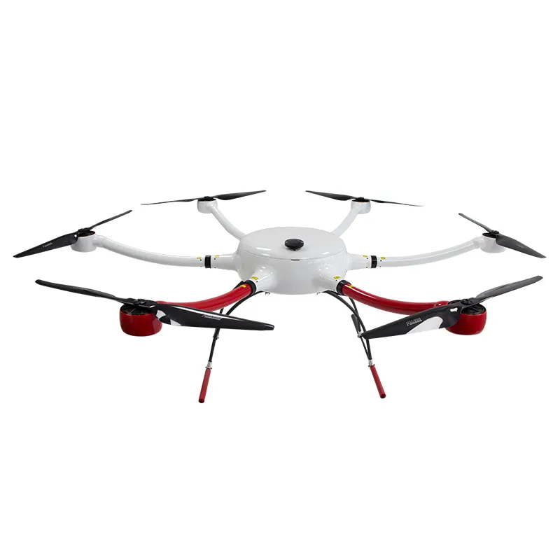
Drone survey services refer to the use of unmanned aerial vehicles (UAVs), commonly known as drones, to gather data and information for various surveying purposes. Drones equipped with specialized sensors and cameras can capture high-resolution images, videos, and other data from the air, which can be used for a wide range of surveying applications. Some common drone survey services include:
Aerial Photography and Videography: Drones can capture high-quality aerial images and videos for various purposes, such as real estate, construction progress monitoring, and promotional materials.
Land Surveying: Drones can be used to create topographic maps, 3D models, and digital elevation models (DEMs) for land surveying, helping with land development, environmental assessment, and infrastructure planning.
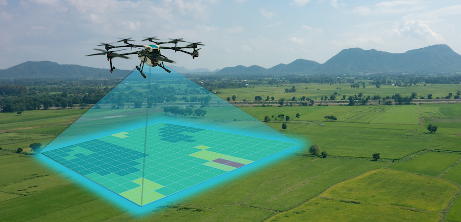
Agricultural Surveys: Drones equipped with multispectral and thermal cameras can monitor crop health, assess irrigation needs, and identify pest infestations in agriculture.
Construction Site Surveys: Drones can regularly capture images and videos of construction sites to monitor progress, track equipment, and ensure that work is on schedule and within specifications.
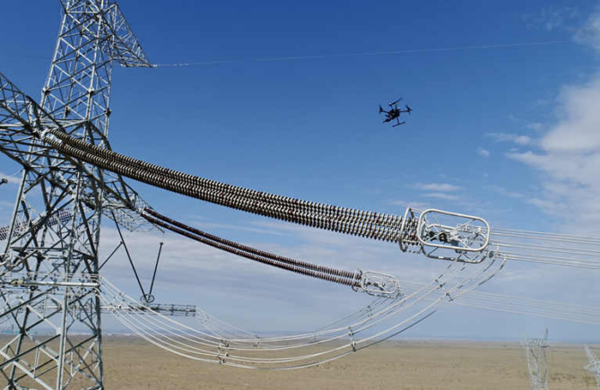
Infrastructure Inspection: Drones are used to inspect bridges, roads, railways, power lines, and other infrastructure for signs of wear and tear, damage, or potential issues.
Mining Surveys: In the mining industry, drones are employed to monitor and map extraction sites, track stockpiles, and ensure compliance with regulations.
Environmental Monitoring: Drones can be used for environmental studies, including mapping wildlife habitats, monitoring ecosystems, and assessing the impact of environmental changes.
Archaeological Surveys: Drones can assist archaeologists in mapping and documenting historical and archaeological sites, improving the efficiency of excavation and research.
Search and Rescue Operations: Drones equipped with thermal cameras can assist in locating missing persons or providing aerial support during emergency situations.
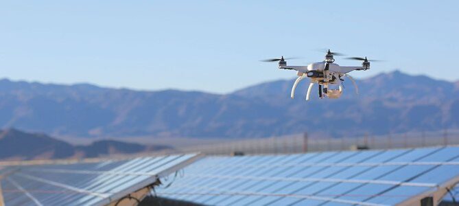
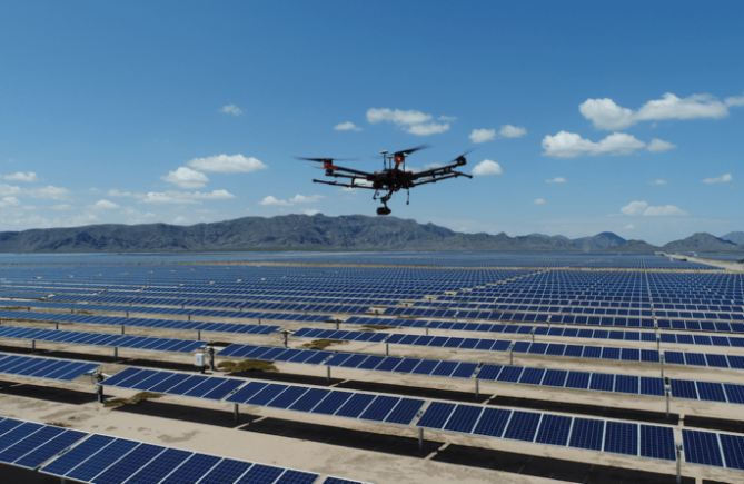
Solar Panel Inspections: Drones are used to inspect and maintain solar panel arrays, ensuring their efficiency and identifying potential defects.
Insurance Assessments: Drones can be used by insurance companies to assess damage after natural disasters or accidents, providing quick and accurate data for claims processing.
Wildlife and Habitat Monitoring: Drones are employed for wildlife conservation and habitat management by tracking animal populations, observing behavior, and assessing the health of ecosystems.
These are just a few examples of the many applications of drone survey services. Using drones for surveying purposes offers advantages such as cost-efficiency, speed, and safety, as it often eliminates the need for ground-based surveys or manned flights. When seeking drone survey services, it’s essential to hire licensed and experienced drone operators to ensure accurate and reliable data collection. Additionally, compliance with local regulations and airspace restrictions is crucial when using drones for surveying.