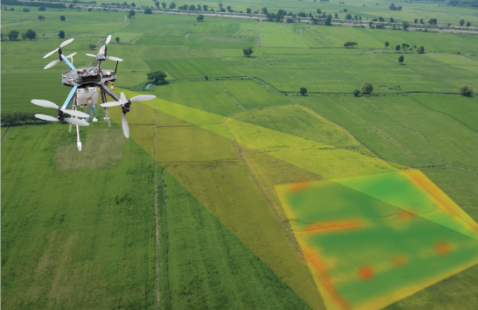
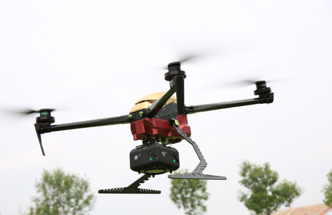
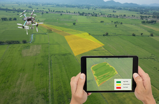
Drone mapping camera can refer to different types of cameras used in various fields, primarily for cartography, geography, or surveying purposes. These cameras are designed to capture images or data that can be used to create maps, models, or geographical information systems (GIS).
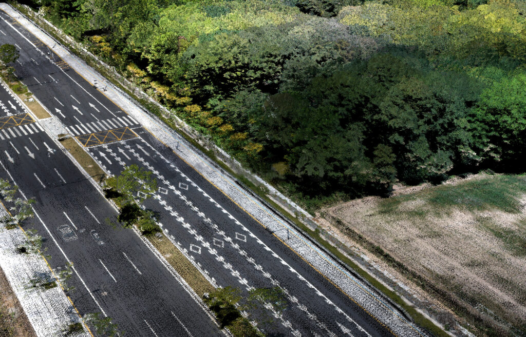
Aerial Mapping Camera: Used in aerial photography, these cameras are mounted on aircraft or drones to capture high-resolution images of the Earth’s surface. They’re employed in cartography, land surveying, urban planning, and environmental studies to create accurate maps or 3D models.
Satellite Mapping Camera: These cameras are mounted on satellites orbiting the Earth. They capture images of the planet’s surface from space, which are then used in various applications such as urban planning, monitoring environmental changes, studying agriculture, and creating accurate maps.
Mobile Mapping Camera: Sometimes used in vehicles or carried by individuals, these cameras capture images or data while moving through an area. They’re utilized in creating street-level imagery for navigation purposes, updating maps in real-time, and aiding in location-based services.
Mapping cameras typically have specific features such as high-resolution lenses, geotagging capabilities (to mark the exact location where the image was taken), and often work in conjunction with other sensors or technologies to provide accurate and detailed mapping data.
Previous postHow is drone lidar system typically work?