①Stable and reliable
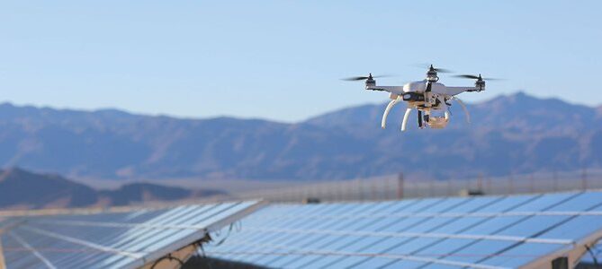
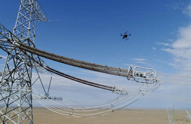
Several practitioners first mentioned the need to be stable and reliable, and no one wants the device to be disconnected at a critical moment. Moreover, the cost of drones used in the industry is very expensive, and the equipment used for tasks such as three-dimensional surveying and mapping is more expensive, and the economic loss of a drop is very large.
②Long battery life
Everyone also mentioned that the battery life should be longer, because frequent take-offs and landings waste time and increase the risk. Long battery life means higher operating efficiency and higher safety.
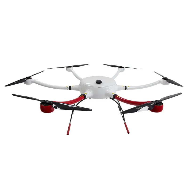
③Multi-rotor or fixed-wing

In the field of surveying and mapping, there are two types of fixed-wing and multi-rotor UAVs, which is more practical?
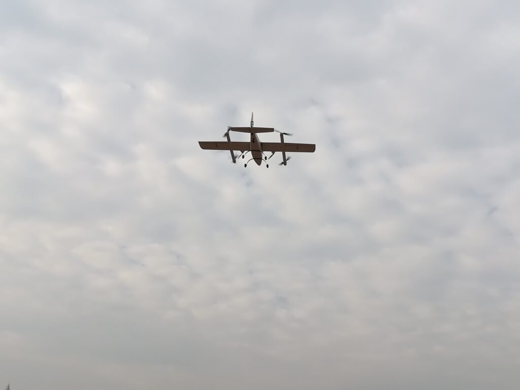
A technician said: The fixed wing has long endurance and fast speed, and is suitable for large-area operations.
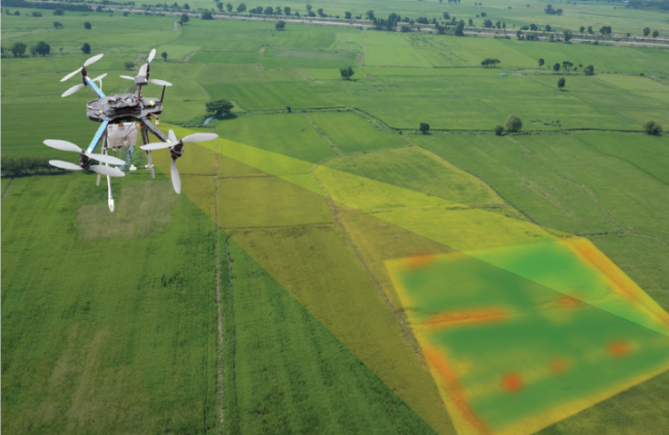
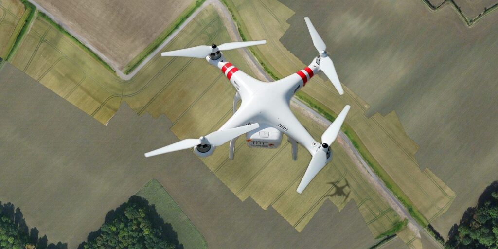
Multi-rotor take-off and landing is more convenient and cheaper, suitable for small area operations. Oblique photography and other 3D modeling operations are all small plots, and multi-rotors are generally used.
④High precision
First-line pilots introduced that the surveying and mapping industry has relatively high requirements for accuracy. The use of RTK technology can achieve centimeter-level accuracy without too many phase control points, which can greatly reduce the workload of the field.
⑤Easy to take off and land
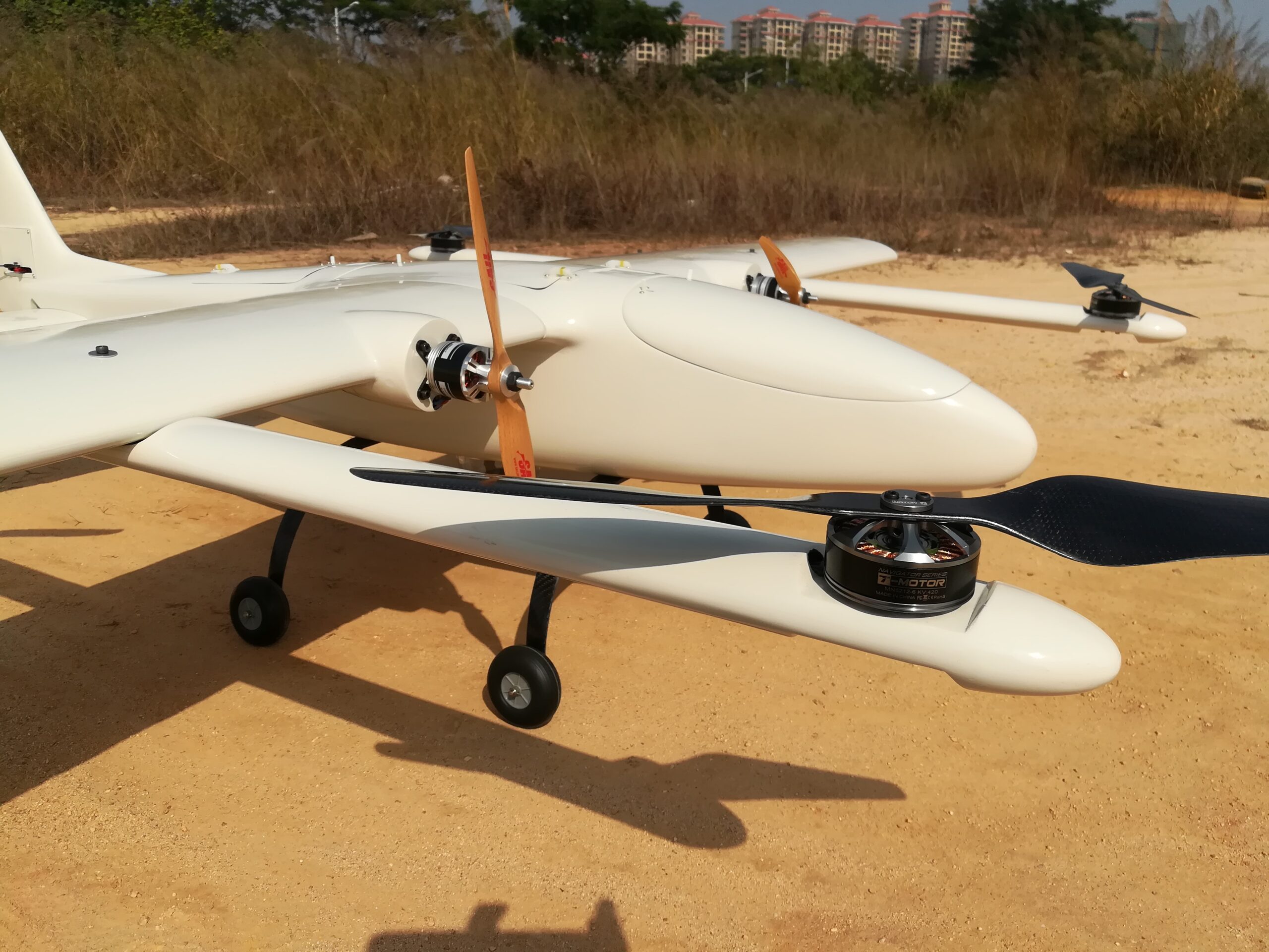
First-line pilots also require the drone to be easy to take off and land. According to reports, in general places, fixed wing can be ejected or thrown off by hand, and landed by parachute. However, in some places where the terrain is more complicated and cannot meet the aircraft’s take-off and landing needs, the UAV must have vertical take-off and landing capabilities.
⑥Portable and easy to expand
Field workers also hope that the drone has good portability and convenient deployment and storage. Because the road conditions in some missions are poor and vehicles are difficult to pass, it is necessary to carry the drone on foot. In addition, if the airplane is small and can meet the demand, it is convenient to hold it for normal operations.
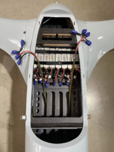
⑦Payload
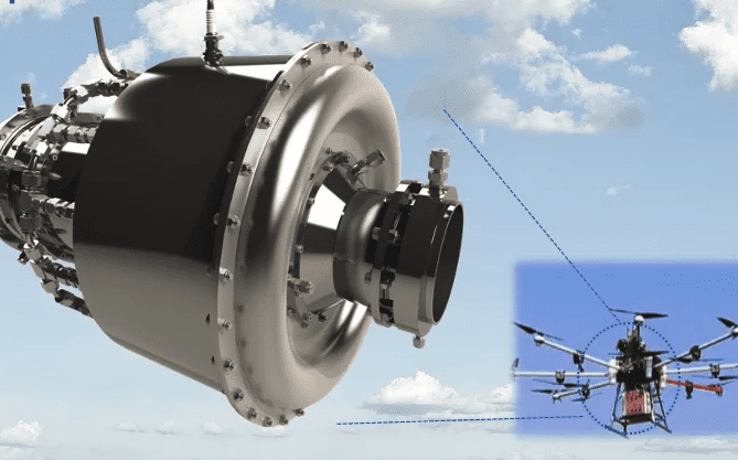
There is no requirement for the load capacity. According to reports, the equipment used for surveying and mapping is mainly mirrorless single-lens and single-lens reflex cameras. A load of 1 kg is sufficient. However, some surveying and mapping drones equipped with lidar have requirements for payloads. LIDAR, IMU, and camera together are about 5 kilograms.
You Might Also Like