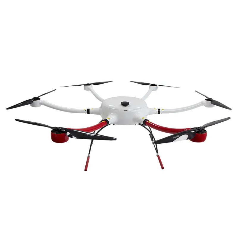
Drone surveying is a modern technique used in various industries, such as construction, agriculture, environmental monitoring, and land management, to collect geospatial data and imagery using unmanned aerial vehicles (UAVs) or drones. This method has become increasingly popular due to its efficiency, cost-effectiveness, and ability to capture high-resolution data from vantage points that may be difficult to reach with traditional surveying methods. Here are some key aspects of drone surveying:
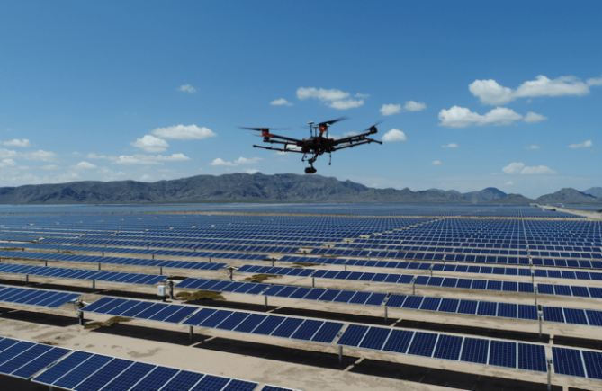
Data Collection 1.Drones are equipped with various sensors, such as cameras, LiDAR (Light Detection and Ranging), thermal cameras, and multispectral sensors, to capture different types of data.
2.Cameras can capture high-resolution aerial imagery and videos, which can be used for mapping, 3D modeling, and visual inspections.
3.LiDAR sensors use laser pulses to create detailed 3D point clouds of the surveyed area, which are valuable for terrain modeling and volume calculations.
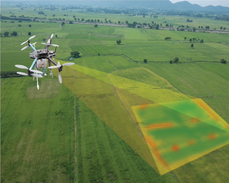
4.Multispectral sensors can capture data for vegetation health analysis in agriculture and environmental studies.
Benefits 1.Cost-effective: Drones can reduce surveying costs compared to traditional methods.
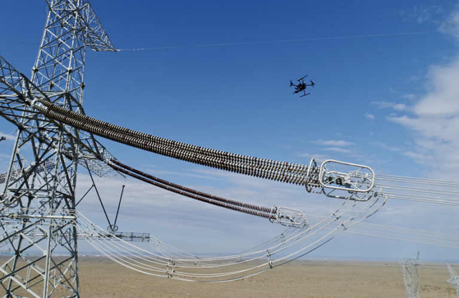
2.Safety: They reduce the need for manual inspections in hazardous or hard-to-reach areas.
3.Speed: Drones can rapidly cover large areas and provide real-time data.
4.Accuracy: High-resolution imagery and 3D data help improve the accuracy of survey results.
5.Accessibility: Drones can access areas that might be difficult to reach by foot or vehicle. Data Processing 1.After data collection, the imagery and point cloud data collected by drones are processed using specialized software to create maps, models, and reports.
2.GIS (Geographic Information Systems) software is often used to analyze and visualize the geospatial data.
Drone surveying has revolutionized the way data is collected for various industries and has the potential to improve efficiency and decision-making in a wide range of applications. However, it’s important to stay informed about evolving technologies and regulations in the field of drone surveying.
Previous postThe advantages of drone transmission line inspection
Next postWhat changes will drone technology bring to the drone survey services?